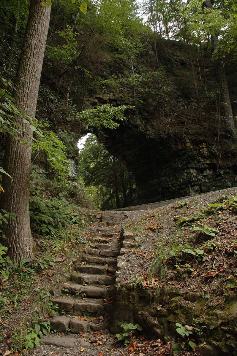
The Virginia Creeper is a shared-use trail (mountain biking, hiking, equine) connecting Abingdon, Virginia, with the Virginia-North Carolina border 1.1 miles east of Whitetop Station, Virginia. The total length of the trail is 33.4 miles.
- Rules of the Trail
- The Virginia Creeper can get pretty crowded during busy summer weekends and, while most folks are just out to enjoy themselves, a few simple rules have proven necessary to protect the environment and to make sure everybody has a good time.
The trail is for non-motorized traffic only.
Bicyclists and hikers meeting horses should yield the trail.
Horseback riders should allow bicyclists overtaking them to pass.
Horseback riders should dismount and lead their mounts across bridges and trestles.
Bicyclists should use caution crossing bridges and should dismount and walk their bikes if conditions dictate.
Pack out all litter, including cigarette butts.
Camping is allowed, but please camp well off the trail, away from streams and springs.
Never camp on private land without permission.
On the Abingdon to Damascus portion of the trail, hunting or carrying firearms is prohibited at all times.
On the Mount Rogers portion, hunting is allowed in season. Firearms may not be carried at any other time.
Target shooting is prohibited.
Helmets are not required for bicyclists or horseback riders, but are HIGHLY recommended.
Fireworks are not allowed.
Do not block gates or park on the trail.
Dogs must be kept on a leash not to exceed 6 feet.
----------------------
Interesting Facts
The last Virginia Creeper train ran in 1977.
Much of the trail goes through private land. In many places, the public trail corridor is only 80’ wide.
Three agencies manage the Virginia Creeper Trail: Damascus and Abingdon administer the trail from Abingdon to Damascus (mile 0-15); and the Mount Rogers National Recreation Area manages the trail from Damascus up to the NC line (mile 15-34).
There are 3 visitor centers along the trail: one at the Damascus Caboose, the old Green Cove Station, and the rebuilt Whitetop Station. All are open weekends May-October. Mount Rogers Interpretative Association has a variety of items for sale at each center.
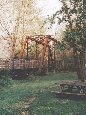
There are 47 trestles on the trail. The U.S. Forest Service and Virginia Creeper Trail club volunteers have refurbished the decking & railings on 23 trestles in the last three years.
Bathrooms are available in Damascus near the caboose, Straight Branch parking lot, Creek Junction parking lot, Green Cove train station, Whitetop train station and at the Abingdon parking lot,.
Refreshments can be purchased at several places along the trail. Communities along the trail such as Alvarado, Damascus, and Taylors Valley have businesses that offer refreshments. Bottled water and drinks are for sale at Green Cove on weekends from May-October. Free water is available at Whitetop Station during frost-free months.
The only public phone along the trail is in Damascus. Cell coverage is poor.
Over 100,000 people enjoy the trail each year.
The U.S. Forest Service operates a bike patrol along the Creeper from Damascus to Whitetop Station from May-October.
Bicyclists and hikers should yield to horseback riders. When passing a horse, a biker should yell out that they are “passing left”. A fast moving biker or a hiker with a large backpack can easily spook a horse.
-----------------------
When is the best time to visit the Creeper?
Answer: Whenever possible.
Back to Top
-----------------------
Where is the Creeper?
Centrally located from many popular cities. About 2 hours south of Roanoke, 3 hours from Charlotte, 1 hour from Boone, 2.5 hours north of Knoxville and 2 hours NE of Asheville.
Back to Top
-----------------------
FAQ 3
Back to Top
-----------------------
FAQ 4
Back to Top |